Flickr is a great place to store your photos and share them with your friends. It’s also fun because you can comment on your friends’ photos.
There is now a new feature called geo-tagging. It’s not like geocaching and you don’t have to know the lat/long of the location, just drag and drop it like a pin on a map. Since I put pins in a map of the world on my office wall, this is a feature I really love! Here is a link to my map.
[Listening to: Changes in Latitudes, Changes in Attitudes – Jimmy Buffett – Changes in Latitudes, Changes in Attitudes]
Funny thing happened to me the other day… As you know I keep a complete set of maps memorized in my head from our youth driving all over East Texas (South Texas and the Greater Austin / San Antonio areas added during College).
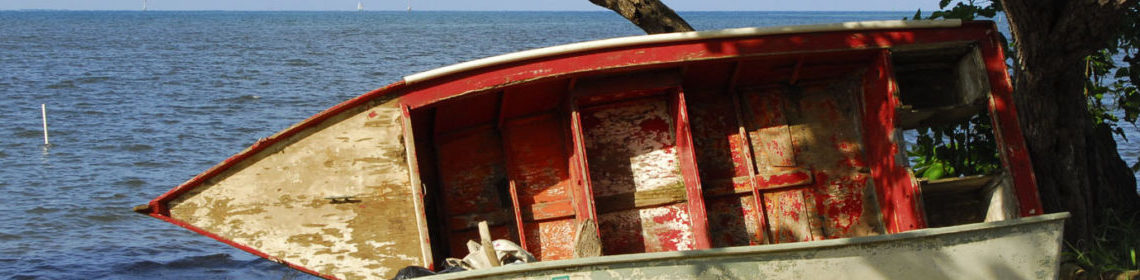
We were messing around on Galveston Island and decided to take the Ferry to the Bollivar Peninsula and back around to North Houston.
Took us damn near two weeks (it seemed). Apparently I’m not as familiar with the road through SE Texas that runs along the beach. We got home by way of Beaumont – EECK!
Oh well! Now I have that part of the state loaded into the mental data base!
BTW… LOVED THE PICTURES!